Today we had to make it a long ways to catch back up from dawdling the day before, but we did see some beautiful places in spite of the rush.
Napier
Our first destination was Napier, located in the Hawke's Bay area - which is on the East coast in about the middle of the North island.
To put things in perspective, Naper is the fifth largest urban area in New Zealand, but it only has about 128,000 people. Once you get outside of Auckland/Wellington/Christchurch, the towns get pretty small pretty quick. But that just means you get to see great personality and Napier was no different. There was a huge earthquake in Hawke's Bay back in 1931 which demolished most of the city. Being in the unique spot to build a new city, Napier was rebuilt largely with Art Deco architecture. The architecture is what led me to this city.
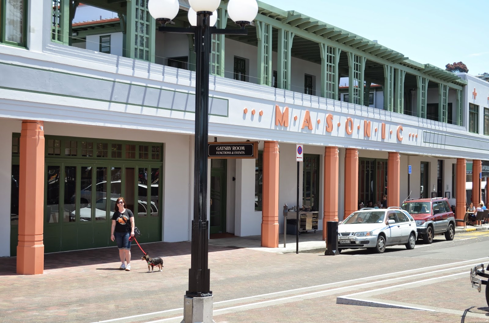


 The sun made its first appearance today as well, so it was extremely hot. This meant Brian melted pretty quick, but we did get a few nice pictures before it was time to move on.
 |
| A beautiful garden in the parade between the main street and the beach |

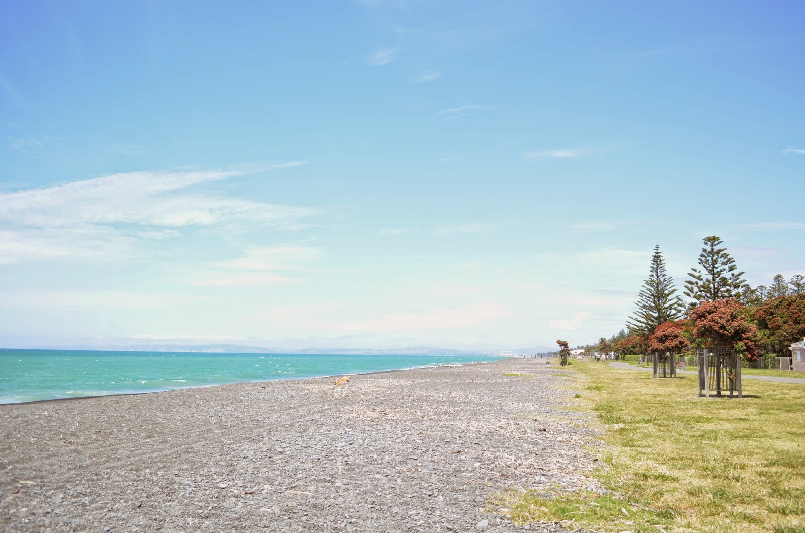 |
| View from the Napier beach |
Lake Taupo
Lake Taupo is the largest lake in New Zealand (by surface area) so we couldn't really skip over it. The lake is created in the caldera of an old volcano. What I thought was interesting is that the initial eruption of this volcano (which occurred 26,500 years ago) is the world's largest known eruption over the past 70,000 years and is called the Oruanui eruption. Pretty amazing.


 We only stopped in a couple of spots, but Ike was happy to get out of the car and roll around in the grass for a bit in his famous "torpedo" style.
 |
| The initial dive |
 |
| Somewhere in the middle |
 |
| Near completion! |
 |
| Resting after all that hard work. |
Tongariro National Park
On our way to our accommodation in Ohakune for the evening, we passed through Tongariro National Park which is New Zealand's first national park and a world heritage area. We thought it was funny that we kept seeing signs that only said "National Park". When we realized it was the first one it made more sense - if there is only one national park you don't really have to give it more of a name haha.
This national park provided many of the backdrops for Mordor, Mount Doom and several other desolate locations in the LotR movies. We took a little detour up to Whakapapa Ski Field, which was the site of several Mordor scenes.
On the way, we paused to take a picture of Mt. Ngauruhoe. This mountain wasn't in the movies, but it certainly set the tone to see the fog rising from the mountains as if it were steaming.


No comments:
Post a Comment