After our quick exploration of Invercargill, we continued our drive along the Southern Scenic Tourist Route on our way up to Queenstown. We started off by driving due west toward Te Waewae Bay, where we found ourselves with some more photo opportunities.
Gemstone Beach
Brian saw on the map a point of interest called gemstones on beach. We thought that sounded interesting and pulled off the road to investigate. A little sign gave us an introduction into the name of the beach (it's official name is Orepuki Beach). Due to the constant storms in this area, the beach is ever changing, where stones will be piled high one day and then covered with sand the next. Some of the stone that have been found on this beach include: hyrdrogrossular, jasper, garnet sands, rodingite, epidote, idiocrase, and sapphire.
This picture of Brian shows all the stones that get left in sand. Some of them were more polished than others. We grabbed a few of the larger green rocks as they reminded us of green stone. There were others there more serious about finding certain stones - one guy had a bucket and shovel!
In addition to the beautiful stones, the beach was quite interesting in and of itself. This was a great little stop that we were happy we made.
 |
| First, there was this cool looking cave/shelter. We were pretty sure someone was living in it, so we didn't walk up to it. |
 |
| There was a little inlet of water behind the beach that had calm waters in huge contrast to the surf hitting the beach from the other side |
 |
| Ike left cute little paw prints in the wet sand. |
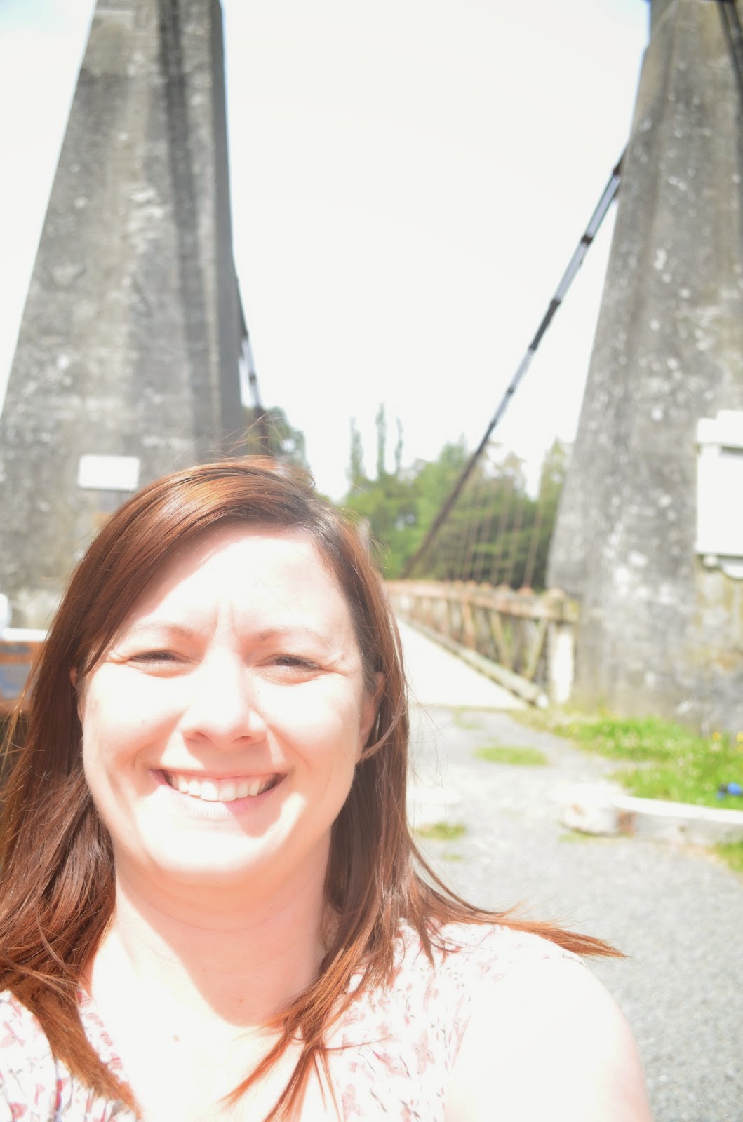
Our next stop was at a historical suspension bridge near Clifden built in 1899. The cool thing about this bridge is that it still has its historic wooden decking.
Luckily, we drove out of the storm by the time we reached this spot but the negative effect was that Brian's allergies kicked in with vigor. Needless to say, I got to see this location by myself. My selfies with a real camera aren't that great haha.
Rakatu Wetlands
What are wetlands you ask? A wetland is an area saturated with water either permanently or seasonally and takes on a distinct ecosystem. The Rakatu Wetlands are maintained by the Waiau Trust are for the benefit of native fish, waterfoul and protected bird species. This is another pretty spot I got to explore by myself. I took a little hike up to a look out and got to look around an incredible valley. The huge dragonflies were the only drawback to my little nature walk.
 |
| Proof I was there. That hill behind me was steeper than it looked - man it winded me! |
 |
| Takitinu Mountains |
 |
| Let's be honest, this picture is of this cool cloud. Still deciding between an alligator or a really mad dog. |
 |
| Mount Titiroa in Fiordland National Park |
This is New Zealand's second deepest lake (1,457 feet deep!). But it has a really sad story about its formation in Maori legend. According to the story, the lake was formed from the tears of two sisters, Moturua and Koronae. Koronae journeyed deep into the forest one day and became stranded after a fall. Moturua went looking for Koronae only to discover that she could not be rescued. So Moturua stayed with Koronae until they both died and their tears formed Lake Manapouri. Manapouri means anxious or sorrowful heart because of the grief of the two sisters.
 |
| View of the lake with what I believe are the Cathedral Peaks in the background |


No comments:
Post a Comment